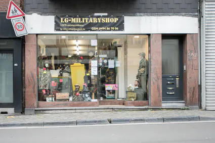
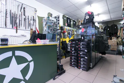
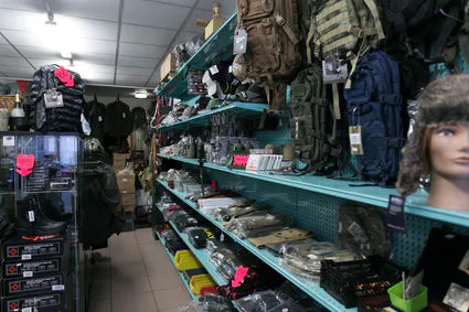
SURPLUS MILITAIRE
Nous vous attendons nombreux et nombreuses sur les bourses suivante
Wavre tout les 1er samedi
4 Juillet 2026 - 1er Aout 2026 - 5 Septembre 2026 - 3 Octobre 2026 -
7 Novembre 2026 - 5 Décembre 2026
De 7h00 à 12h00 Avenue Solvay 5 Zoning nord Wavre
Ciney Militaria Dimanche 25 octobre 2026 Rue du marché couvert 3 - 5590 Ciney


Omaha Beach Normandie 1944
 8.99 EUR
Plaque d'immatriculation Omaha Beach Normandie 1944
Plaque immatriculation aluminium
Afbeeldingsresultaat voor patch 29eme div infanterie battle normandie big-red-one.gif Afbeeldingsresultaat voor patch ranger
Omaha, commonly known as Omaha Beach,
was the code name for one of the five sectors of the Allied invasion of German-occupied France in the Normandy landings on June 6, 1944,
during World War II. "Omaha" refers to a section of the coast of Normandy,
France, facing the English Channel 8 kilometers (5 mi) long,
from east of Sainte-Honorine-des-Pertes to west of Vierville-sur-Mer on the right bank of the Douve River estuary and an estimated 150-foot (45 m) tall cliffs.
Landings here were necessary to link the British landings to the east at Gold with the American landing to the west at Utah,
thus providing a continuous lodgement on the Normandy coast of the Bay of the Seine.
Taking Omaha was to be the responsibility of United States Army troops,
with sea transport, mine sweeping, and a naval bombardment force provided predominantly by the United States Navy and Coast Guard,
with contributions from the British, Canadian, and Free French navies.
MERK (FALLBACK): Fosco Industries